Maps of Macclesfield and Region
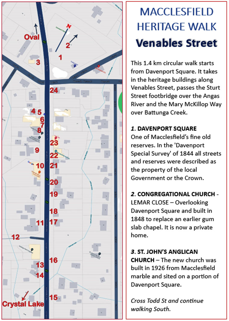
Venables Street Heritage Walk - NEW 2024
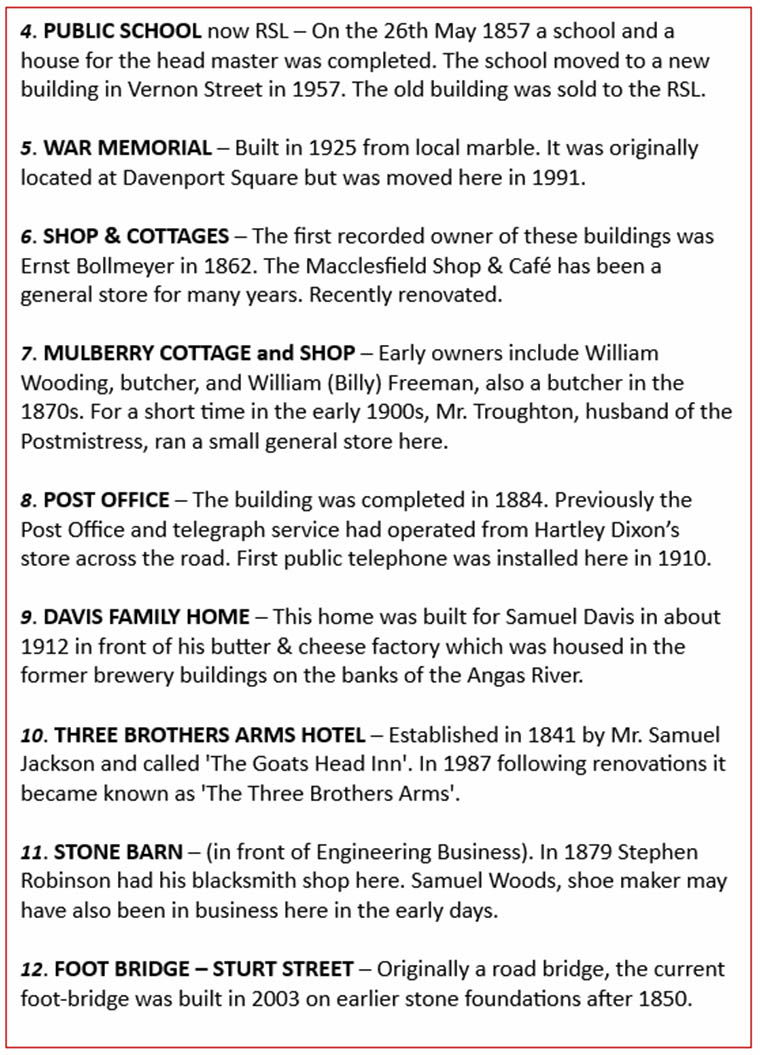
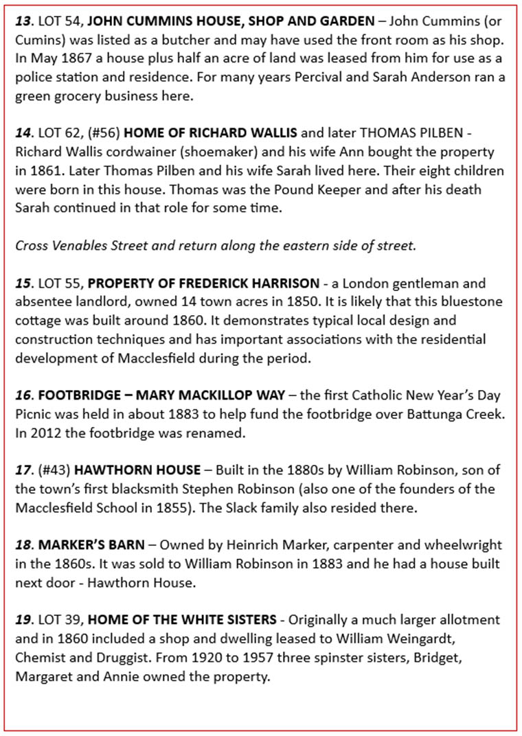
Venables St Heritage Walk 2 OLD - Outdated
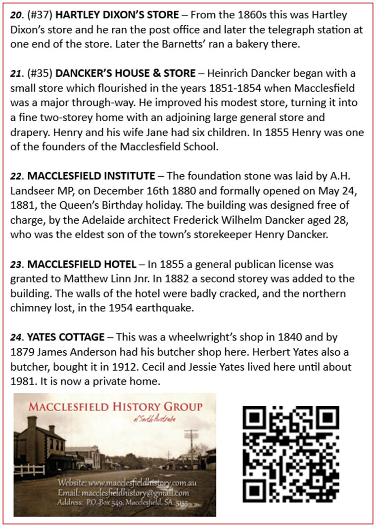
Early map of the Macclesfield district
Venables Street Heritage Walk - NEW 2024
We have created and distributed an updated Venables Street Walk brochure. This 1.4 km easy flat walk starts and ends at Davenport Square. It gives a short history of each of the heritage buildings along Venables Street, passing the Sturt Street footbridge over the Angas River and the Mary McKillop Way over Battunga Creek. Thanks to Rebekha Sharkie for her printing help.
A printable pdf file can be downloaded here.


Venables St Heritage Walk 2 ----- OLD
This 1.4km circular walk starts from Davenport Square. The walk brochure can be:
- collected from the local Post Office or local supermarket, or
- downloaded at home and printed (lower quality) from HERE

Here is a larger image of the map of Macclesfield used in the walk.

Early map of the Macclesfield district


